
New geo background for network maps
-
Question regarding the ability to use geo map background. Does this expect raster /{z}/{x}/{y} tile format or is it looking for a WMS/WMTS server to query capabilities ? I have a local tile server I would like to use but it just gives invalid tile format when trying use it and the default netxms tile server does not seem to work anymore
Thanks
-
It's just png tiles, yes.
But according to our monitoring and my manual check - it's just fine (e.g. https://tile.netxms.org/osm/0/0/0.png, https://tile.netxms.org/osm/14/9288/5023.png)
What kind of error you got?
-
-
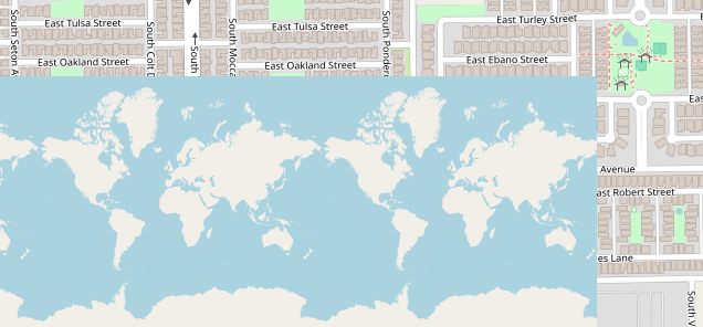
After testing out the geo maps some tiles do not seem to load. This happens when using both the netxms and my internal tile server. This however does not happen when I test each tile server with Qgis everything loads just fine. I have attached a screen shot.
Update:
I had to clear the cached maptiles on the client within .nxmc4
-
That's more or less expected with the current caching: the client caches tiles under .nxmc4 and doesn't invalidate them when the tile server changes, so you can get stale/missing tiles from the previous server — which is why clearing the cache fixed it for you. I've filed a ticket to key the cache by tile server URL so switching servers invalidates automatically and you won't need to clear it by hand. Thanks for tracking it down.


Hello! It looks like you're interested in this conversation, but you don't have an account yet.
Getting fed up of having to scroll through the same posts each visit? When you register for an account, you'll always come back to exactly where you were before, and choose to be notified of new replies (either via email, or push notification). You'll also be able to save bookmarks and upvote posts to show your appreciation to other community members.
With your input, this post could be even better 💗
Register Login